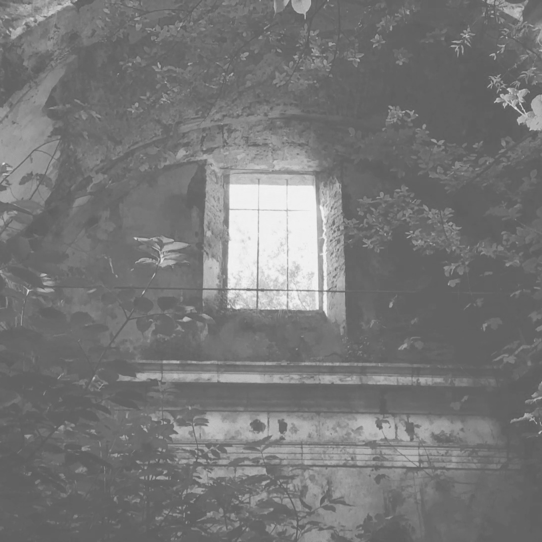
• PROJECTS
  • PUBLICATIONS
  • RECORDINGS
  • INFO

warning office

  • PROJECTS
  • PUBLICATIONS
  • RECORDINGS
  • INFO

Remastering Eden

[PROJECT DETAILS]

( 2021 ) HD video, running time: 4'58"
A collaboration between Robert Gerard Pietrusko and Courtney Stephens. The piece uses Soviet archival footage to imagine a future institution who resurrects a fallen planet through the magic of cinema.

UTM 39N

[PROJECT DETAILS]

( 2021 ) HD video, running time: 3’20”
A single channel music video for the piece, UTM 39N, exploring the aesthetics of the P. Pinea tree.

The Edge Of All We Know

[PROJECT DETAILS]

(2020) Celestial data visualizations for feature-length documentary film, Black Holes: The Edge of All We Know (director: Peter Galison, Collapsar Films)

Grey Canyon Echo

[PROJECT DETAILS]

( 2020 ) music video for Byron Westbrook’s “Grey Canyon Echo.” running time: 1’34”

Six Microphones

[PROJECT DETAILS]

( 2000/2013/2019 ) site-determined sound installation composed of audio feedback. running time: 92 min.

In Plain Sight

[PROJECT DETAILS]

( 2018 ) 4K video projection, running time: 20 min.

A geospatial documentary that critiques the NASA “night lights” dataset and reveals locations with lights and no people, and locations with populations living in the dark

Sample + Hold

[PROJECT DETAILS]

(2011/2016) mixed media, running time: 12 min.
An experimental land use map employing agent-based modeling and evolutionary programming to exploit the blind spots in an aerial surveillance system.

Trans_Actions

[PROJECT DETAILS]

( 2011 ) 8K panoramic video, running time: 25 min.
An immersive data documentary about the globalization of the art market

MSS

[PROJECT DETAILS]

(2016-ongoing) mixed media, running time: 22 min.

EXIT

[PROJECT DETAILS]

(2008 / 2015) 360° panoramic video, running time: 45 min.
a geospatial documentary about global migration and its causes.

Test Sites

[PROJECT DETAILS]

2016-ongoing

Containment

[PROJECT DETAILS]

2015
Cartographic animations for feature-length documentary film, ‘Containment’ (dir. Peter Galison + Robb Moss)

ORD Fly By Instruments

[PROJECT DETAILS]

( 2013 ) HD video, running time: 22 min.
A cartographic study of the geography produced by Chicago O’Hare’s invisible surface of flight traffic regulation.

Behavior Surface

[PROJECT DETAILS]

2014
An agent-based simulation for terrain drawing

Cartographic Grounds

[PROJECT DETAILS]

( 2012 ) 4 channel HD video, running time: 5 min.

A graphic documentary that deconstructs canonical cartographic representational techniques

Bands 2 through 7

[PROJECT DETAILS]

( 2014 ) HD video, running time: 59 sec.

An experimental short manually exploring additive color techniques of visualizing multispectral satellite imagery

Terroir Table

[PROJECT DETAILS]

( 2010 ) mixed media

experimental map of nineteen global vineyards rendered with a combination of representational and non-representational media

Under Vine

[PROJECT DETAILS]

( 2010 ) HD video, running time: 12 min.

A data documentary about the globalization of the wine industry

Remastering Eden

wo-TheRoom_thumb.png

UTM 39N

wo-UTM39N_thumb.png

The Edge Of All We Know

wo-Black-Hole-thumb.png

Grey Canyon Echo

wo-Grey_Canyon_Echo_thumb.png

Six Microphones

wo-6m-layout-preview_50_B.png

In Plain Sight

wo-ips-thumbnail.png

Sample + Hold

wo-azeri-back-view-preview-50.png

Trans_Actions

wo-transactions-00-timeline-preview.png

MSS

mss-thumb.png

EXIT

wo-exit-remittances-preview_50.png

Test Sites

wo-testSites-thumbnail.png

Containment

wo_containment_thumb.png

ORD Fly By Instruments

ORD-thumbnail-50.png

Behavior Surface

wo_behaviorSurface.png

Cartographic Grounds

wo-grounds-pModel-preview-50.png

Bands 2 through 7

multispectral-thumb-50.png

Terroir Table

wo-undervine-table01-preview_50.png

Under Vine

undervine.png