PROJECTS / MSS
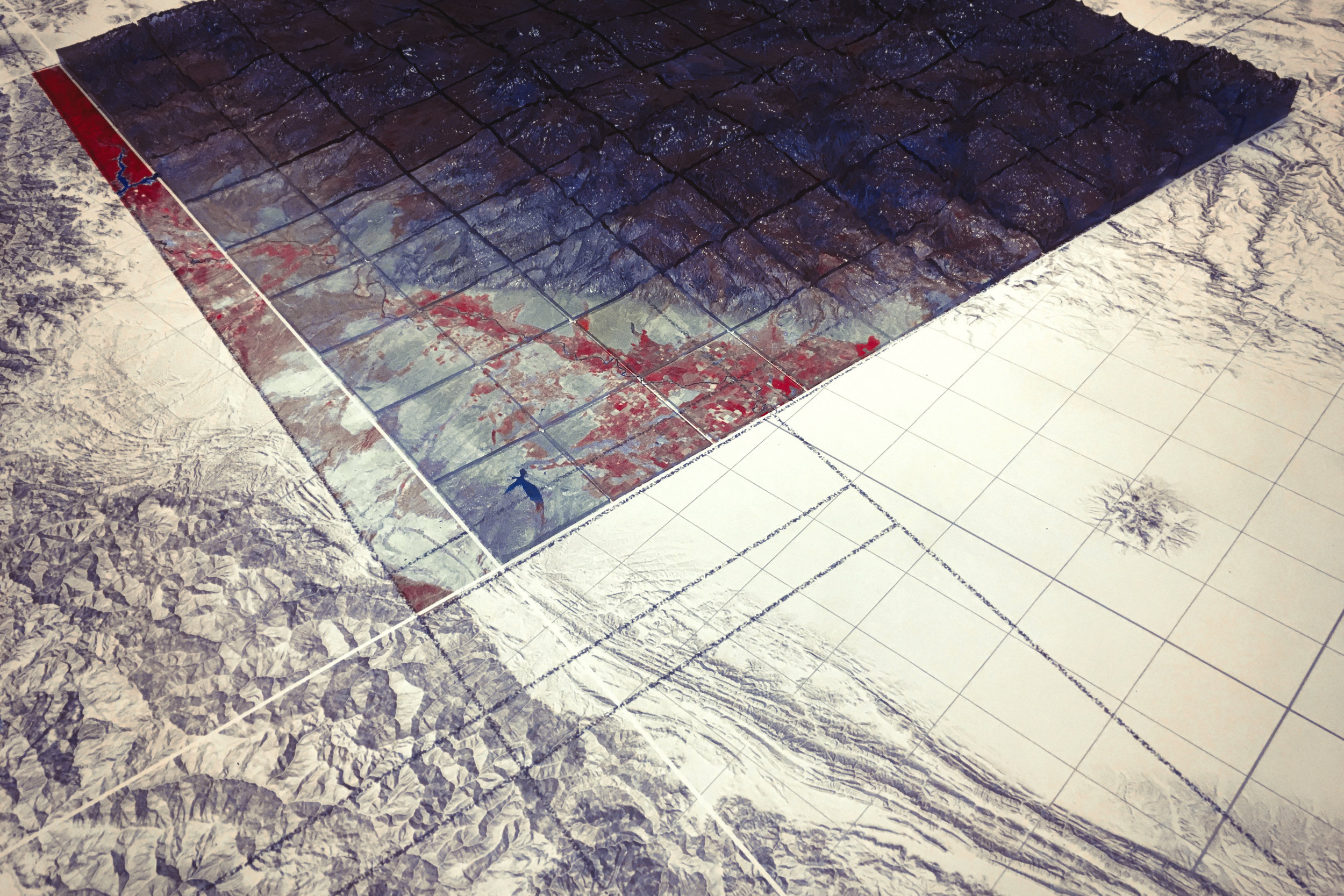
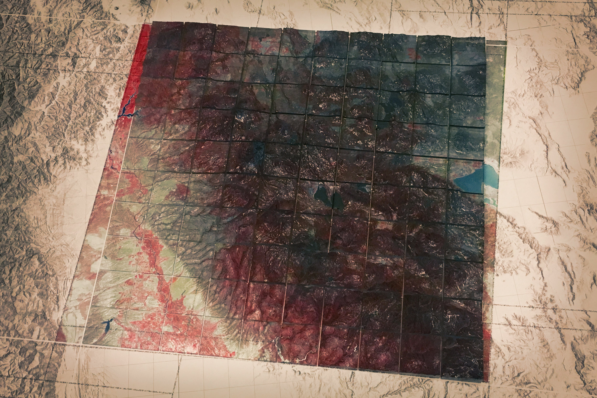
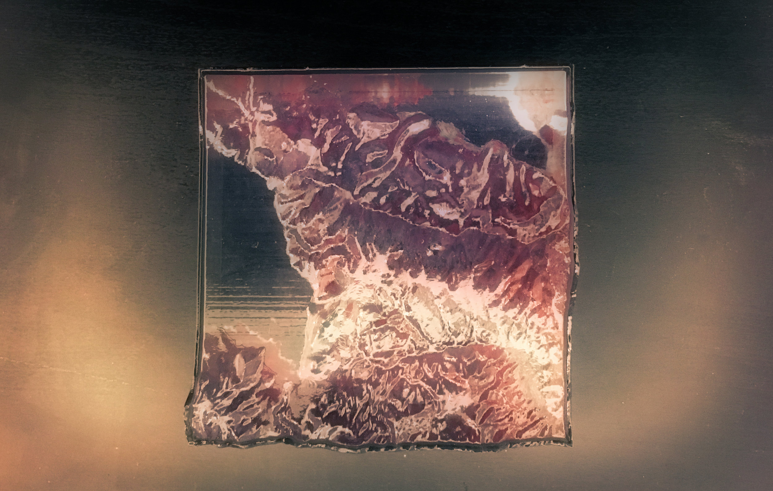
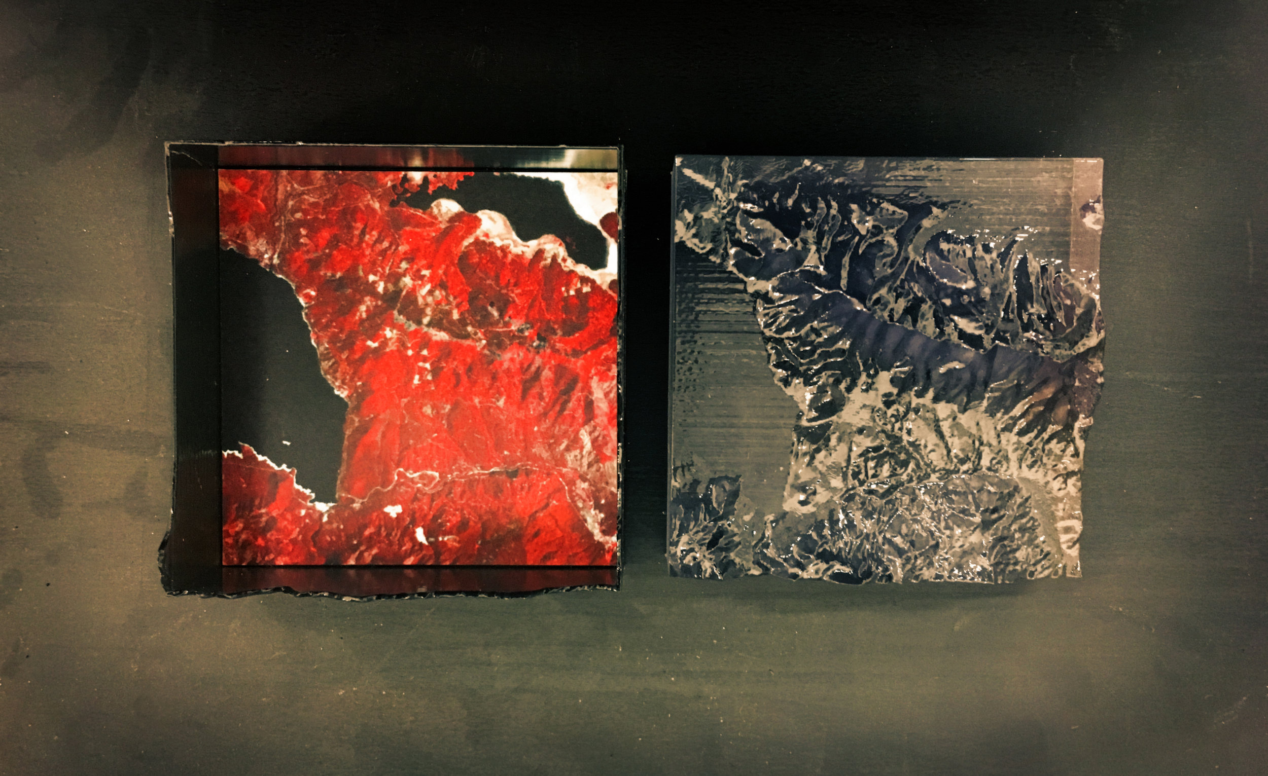
MSS (or, multispectral scanner) is an experiment in geographic representation. It explores the way that the circulation of data directly shapes how we collectively understand its content. MSS uses a series of representational forms that are commonplace in the field of design to depict the Bucks Lake region of California. However, these representations are fit within the ‘form factor’ of objects that are conventionally assumed to carry music, and circulated through channels of music distribution and consumption. By circulation alone, these representations—that in content are geographic through and through — are now understood culturally as a form of experimental music. Beyond being an experiment in media specificity, and the epistemic aspects of circulation, this project suggests possible new venues and channels for broadcasting the content of design-based research.
VISUALIZATION
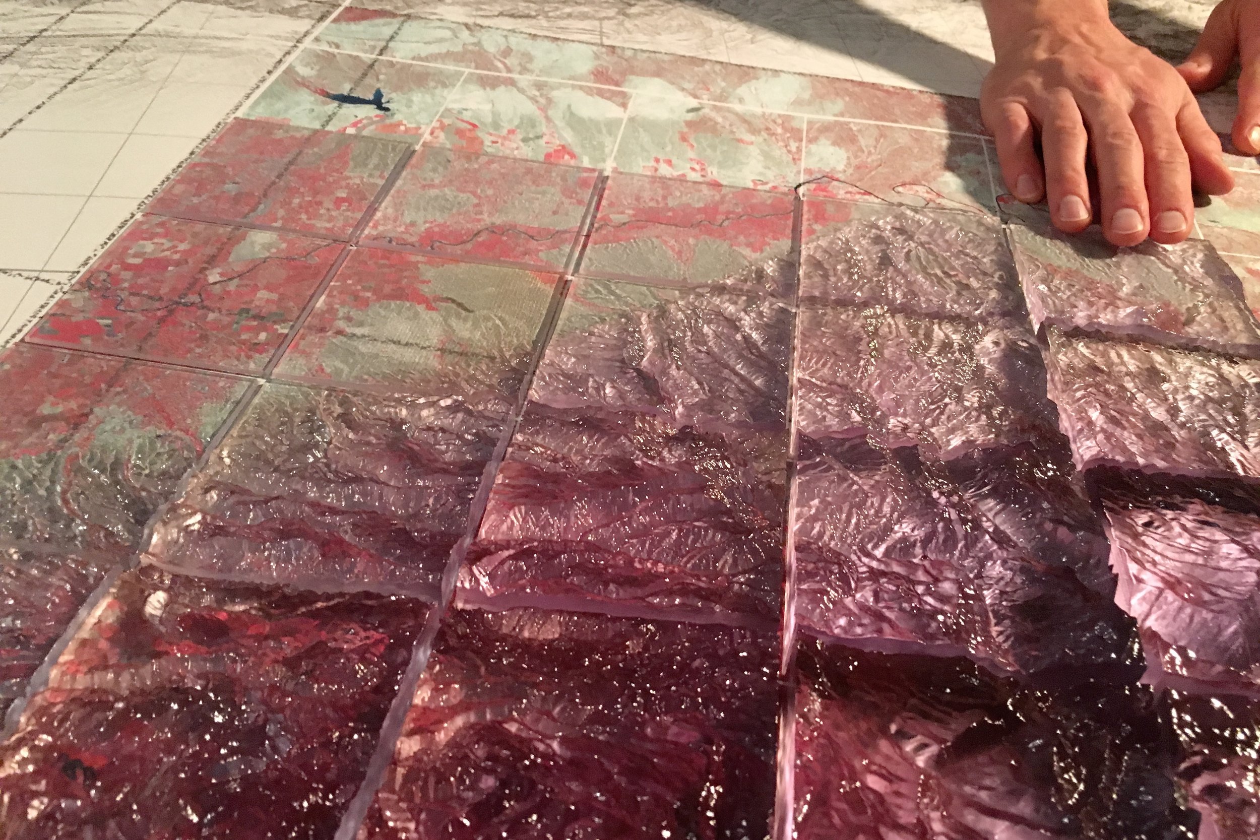
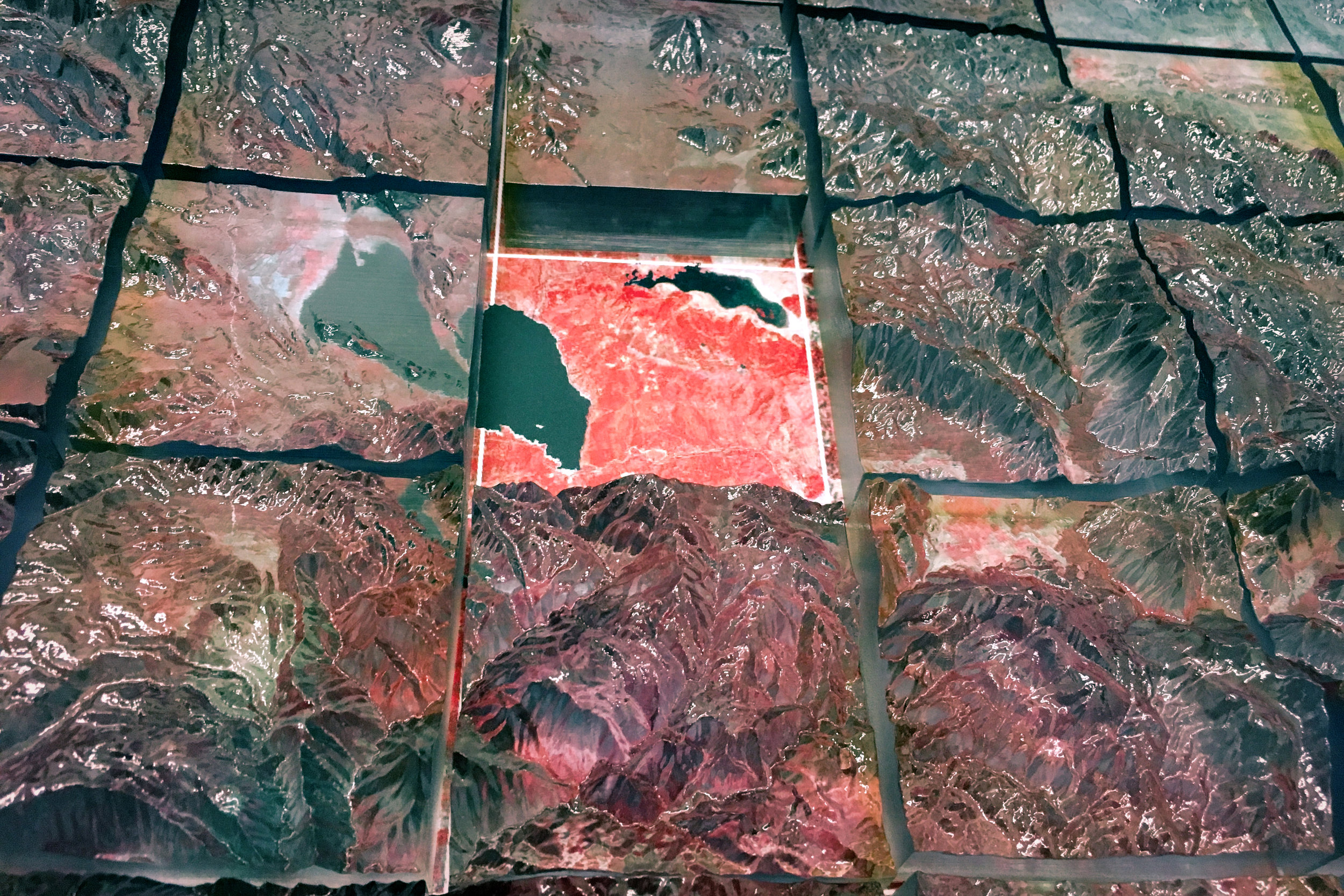
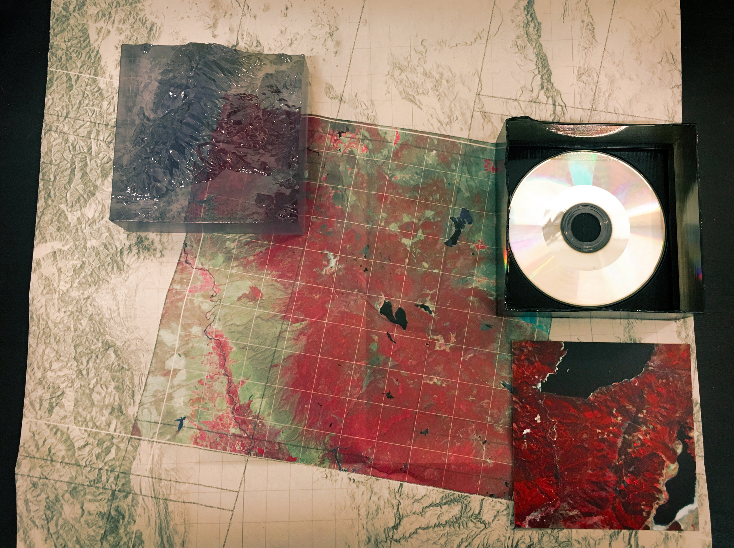
MSS uses a single Landsat-5 satellite scene centered on Bucks Lake California, and a digital elevation model of the same region. It renders the region graphically using a false color standard and is applied to a terrain hill shade. Simultaneously, the region is represented as 3D printed terrain in clear acrylic, that sits in registration with the image. At a scale of roughly 1:200k, the map and model are 90 sq-cm.
SONIFICATION
Alongside the graphic and physical depiction of the site, the satellite signals used to create the image are directly translated into sound — a data sonification. Using the scanning rate of the satellite’s sensor as a temporal scale, the numerous multi-spectral bands are transposed into into the audible range. No musical intuition or specific aesthetic criteria is used for making this translation. It is merely meant to render the satellite data in a different sensory mode.
FORM FACTOR
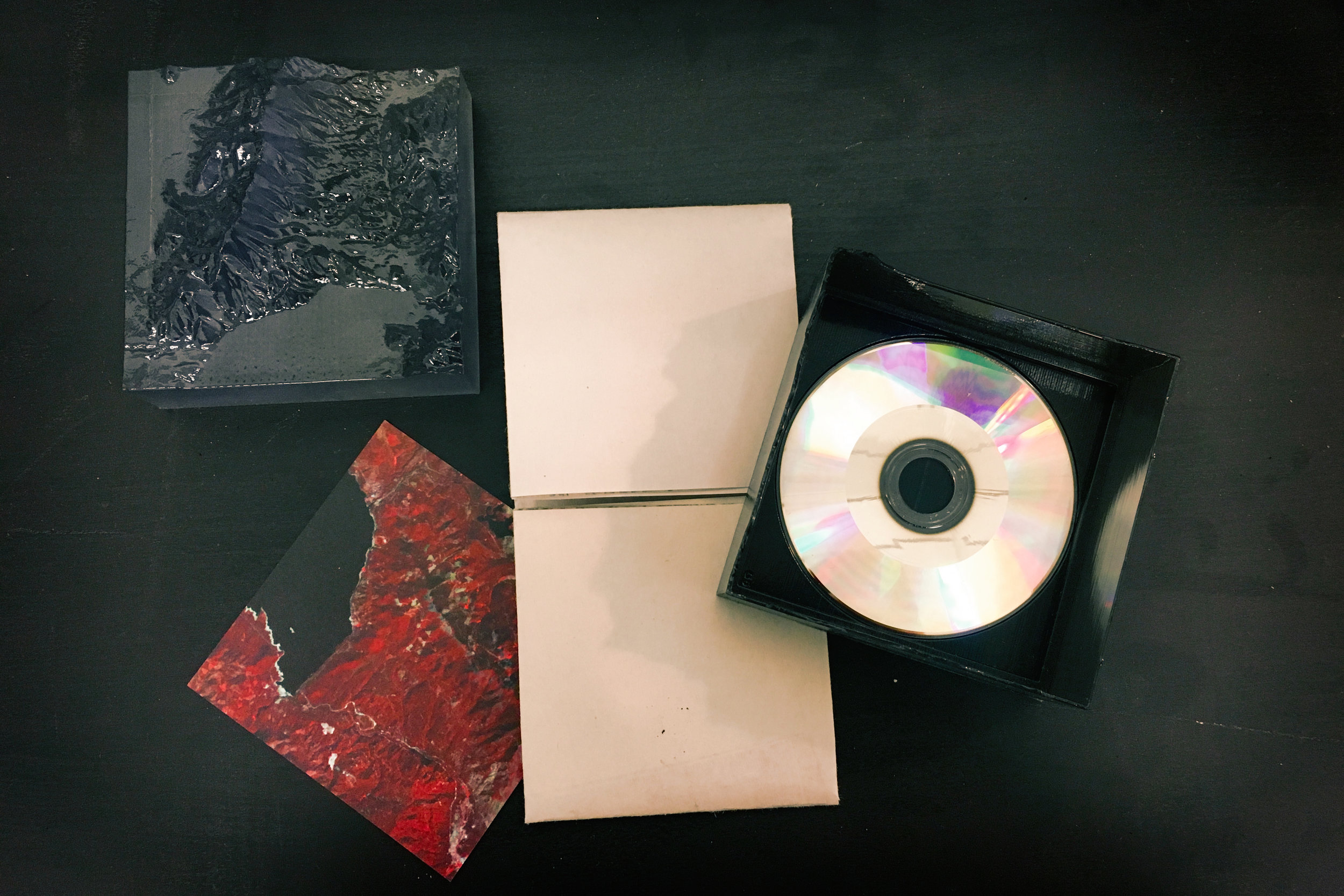
The map and terrain model are divided into a 10x10 matrix of 90mm cells. For each cell, a custom tray, or jewel box, is 3D printed that conforms to the elevation of the terrain model, while also matching the form factor needed to hold an 80mm compact disc. On the compact disc is stored the sonification of satellite data corresponding to that particular cell. Also, included is a larger context map of the full site, denoting where the cell resides within the larger 10x10 matrix.
These new objects remain entirely devoted to the representation of geographic data. However, their form factor creates a new functional affordance — though they are cartographic models, they are now a size and shape that could also easily circulate through musical channels.
CIRCULATION
MSS only has one content but its objects can be bought through online music distribution channels, where its content is understood as a form of experimental music. It can also circulate through academic design channels as a project about geographic representation and media specificity.
[PROJECTS]
TEAM
Robert Gerard Pietrusko
Scott Smith