PROJECTS / TEST SITES
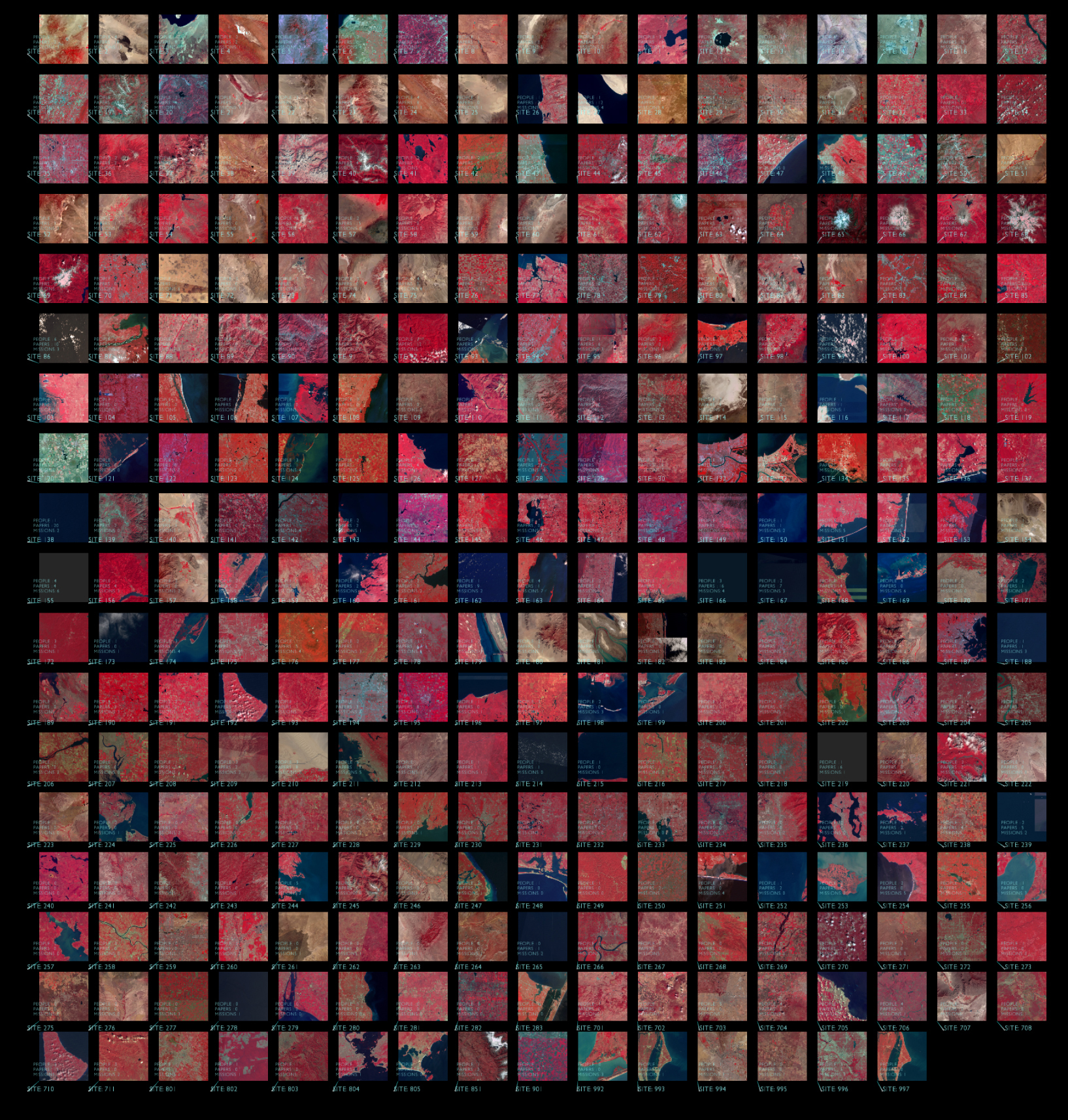
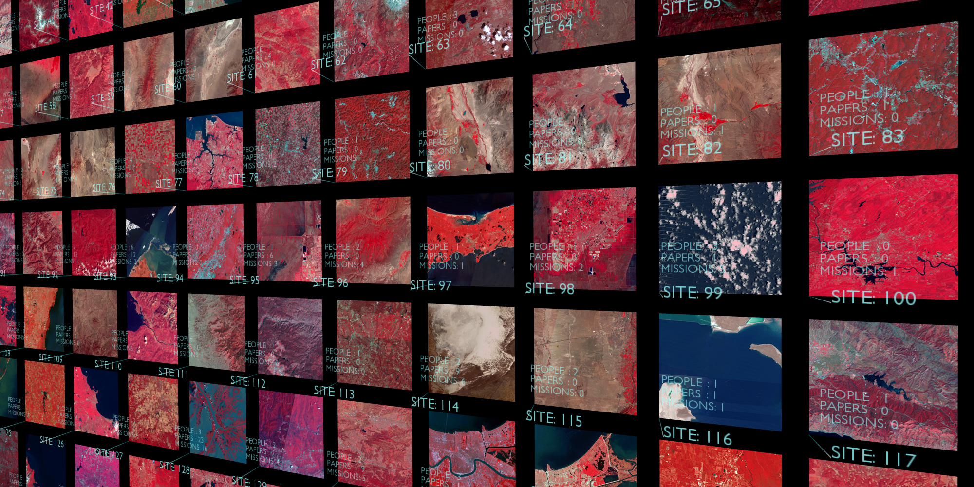
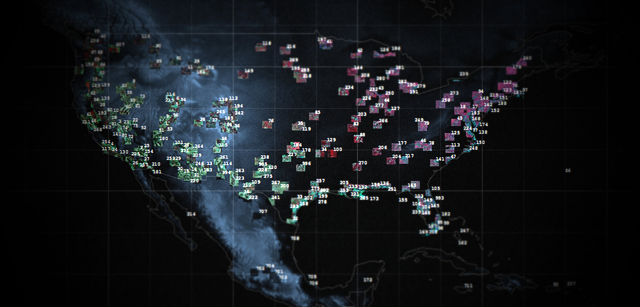
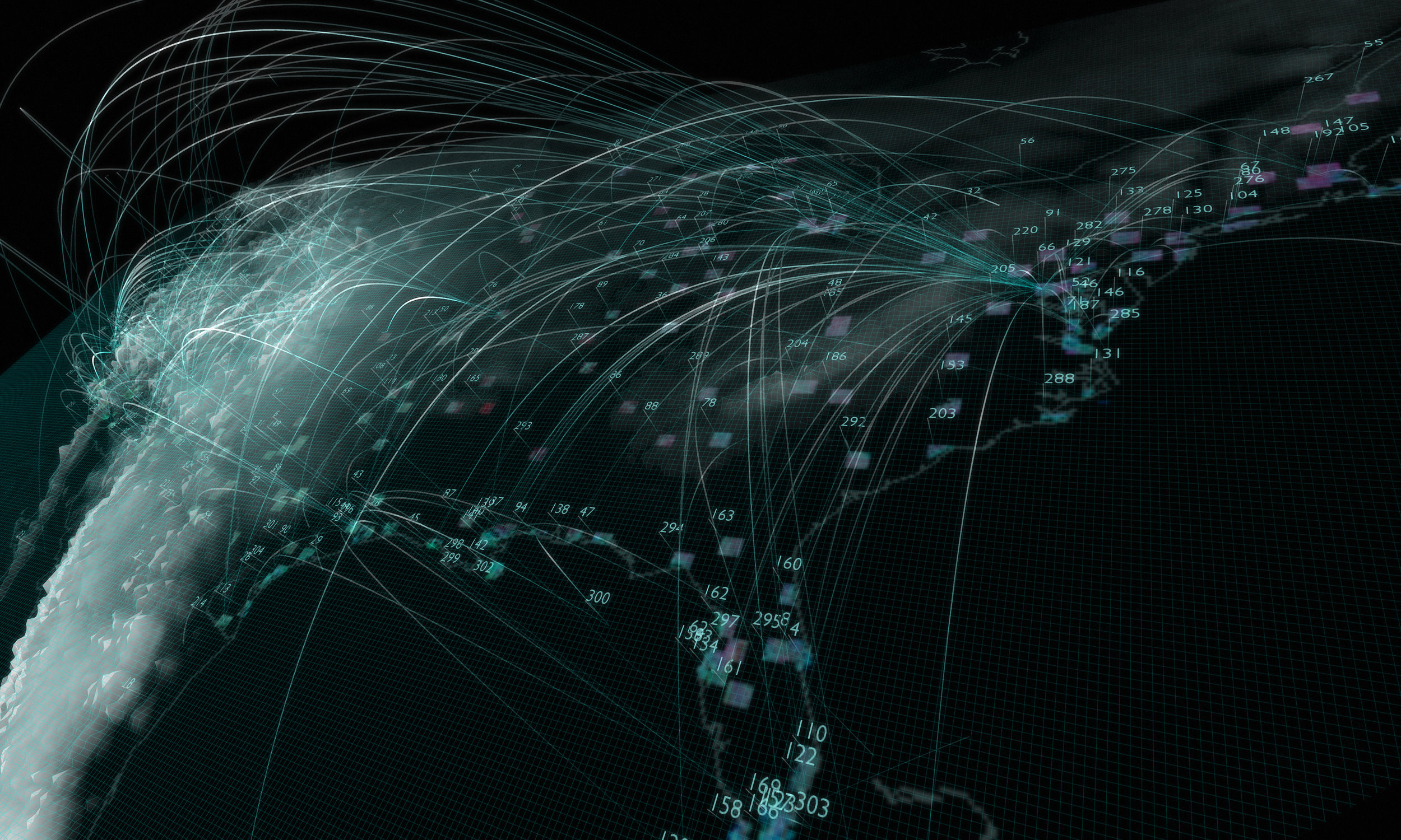
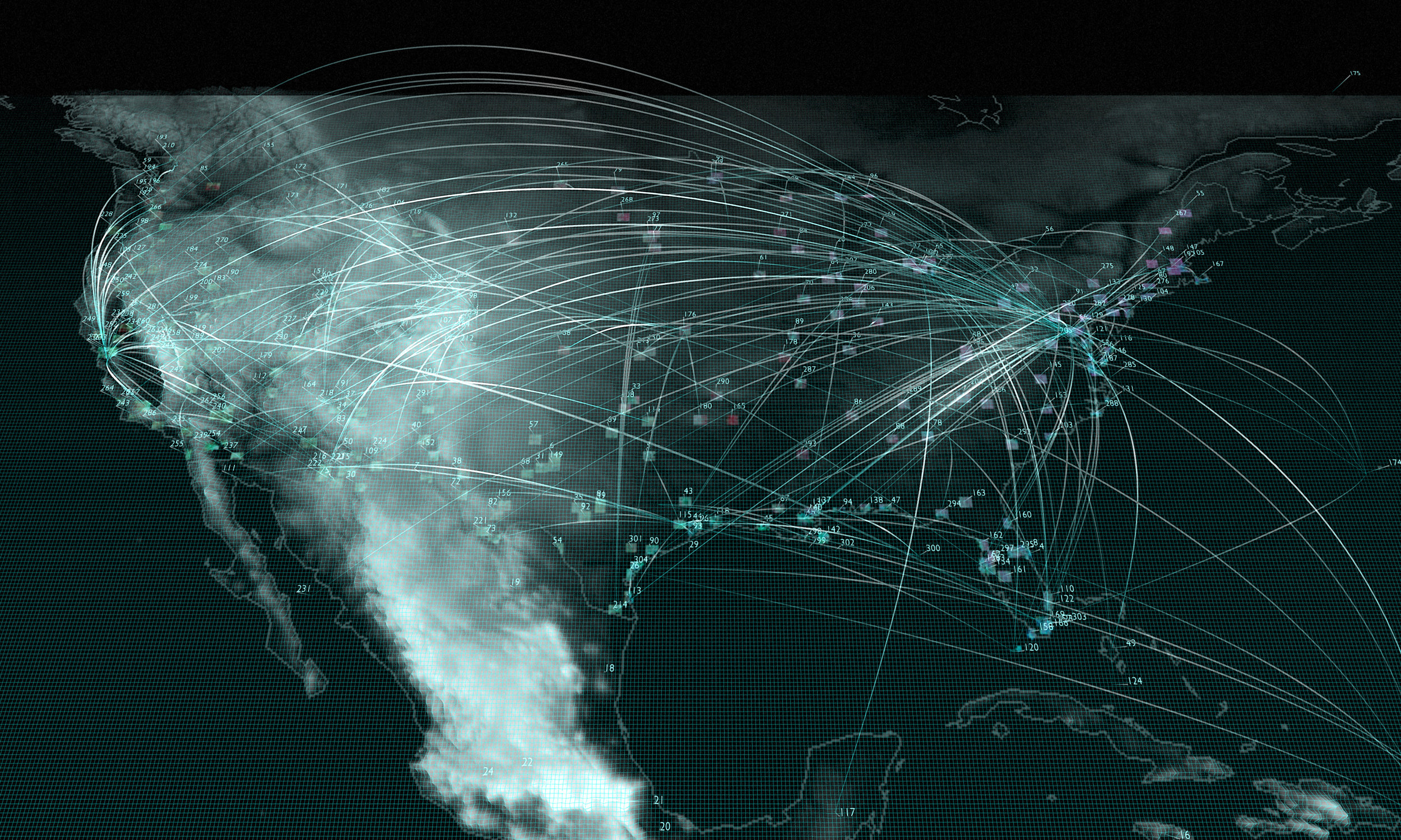
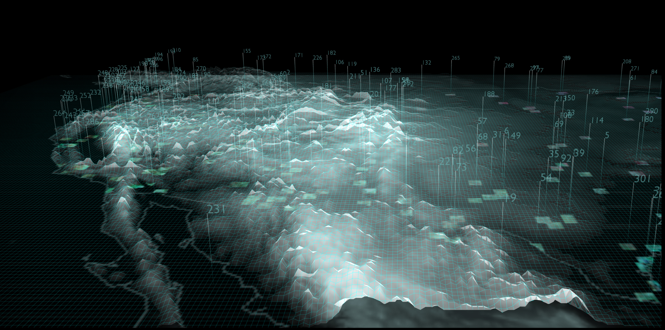
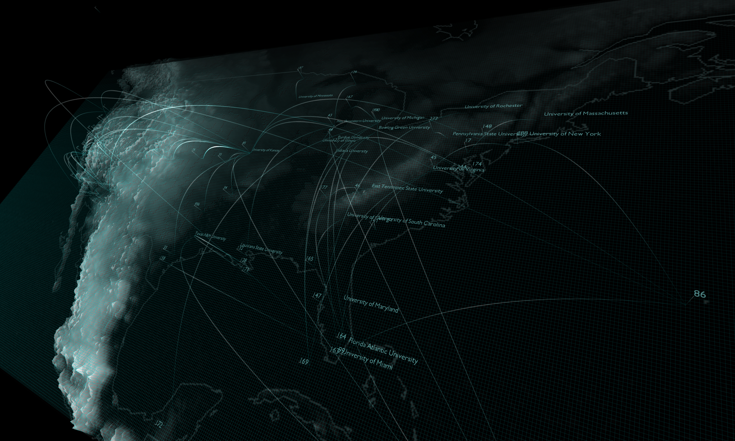
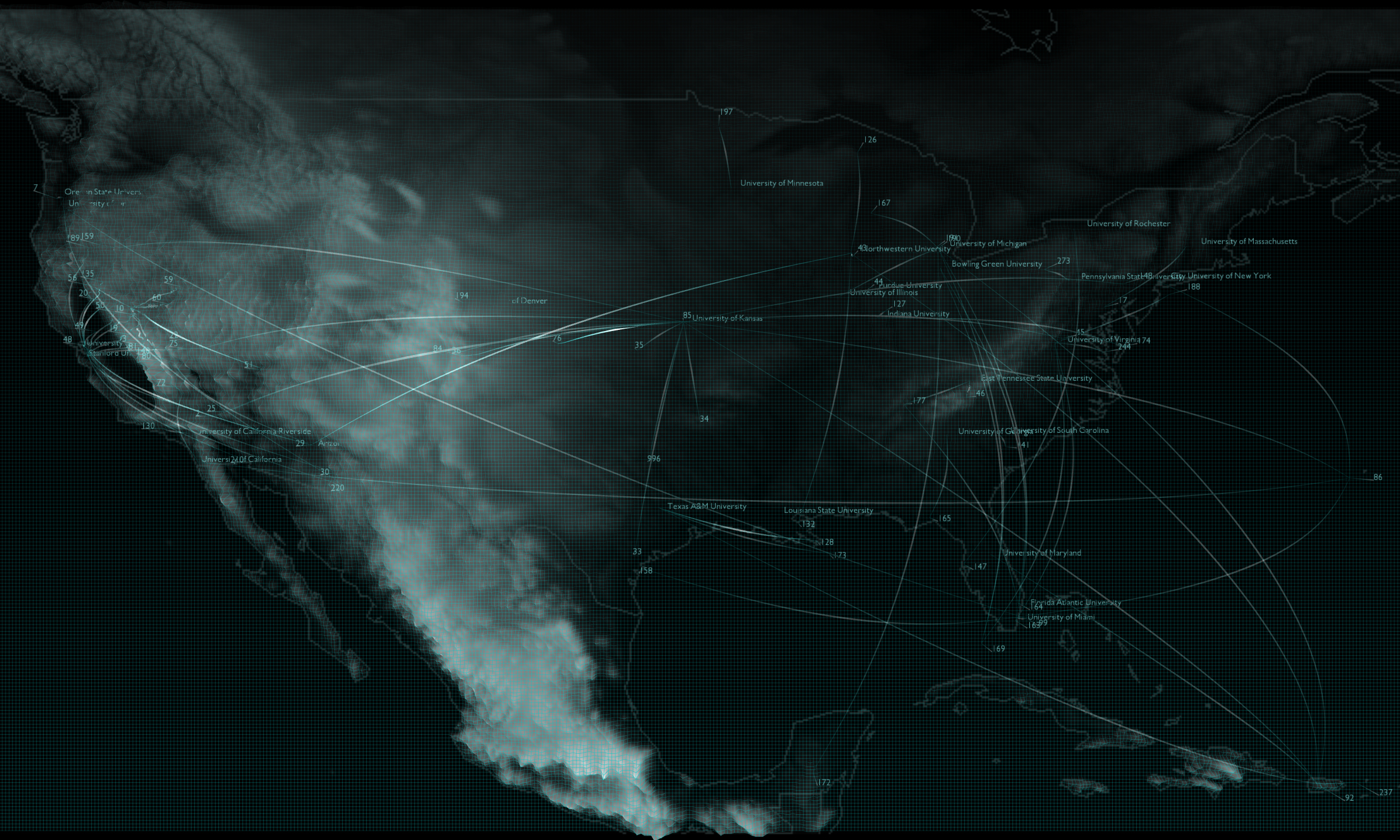
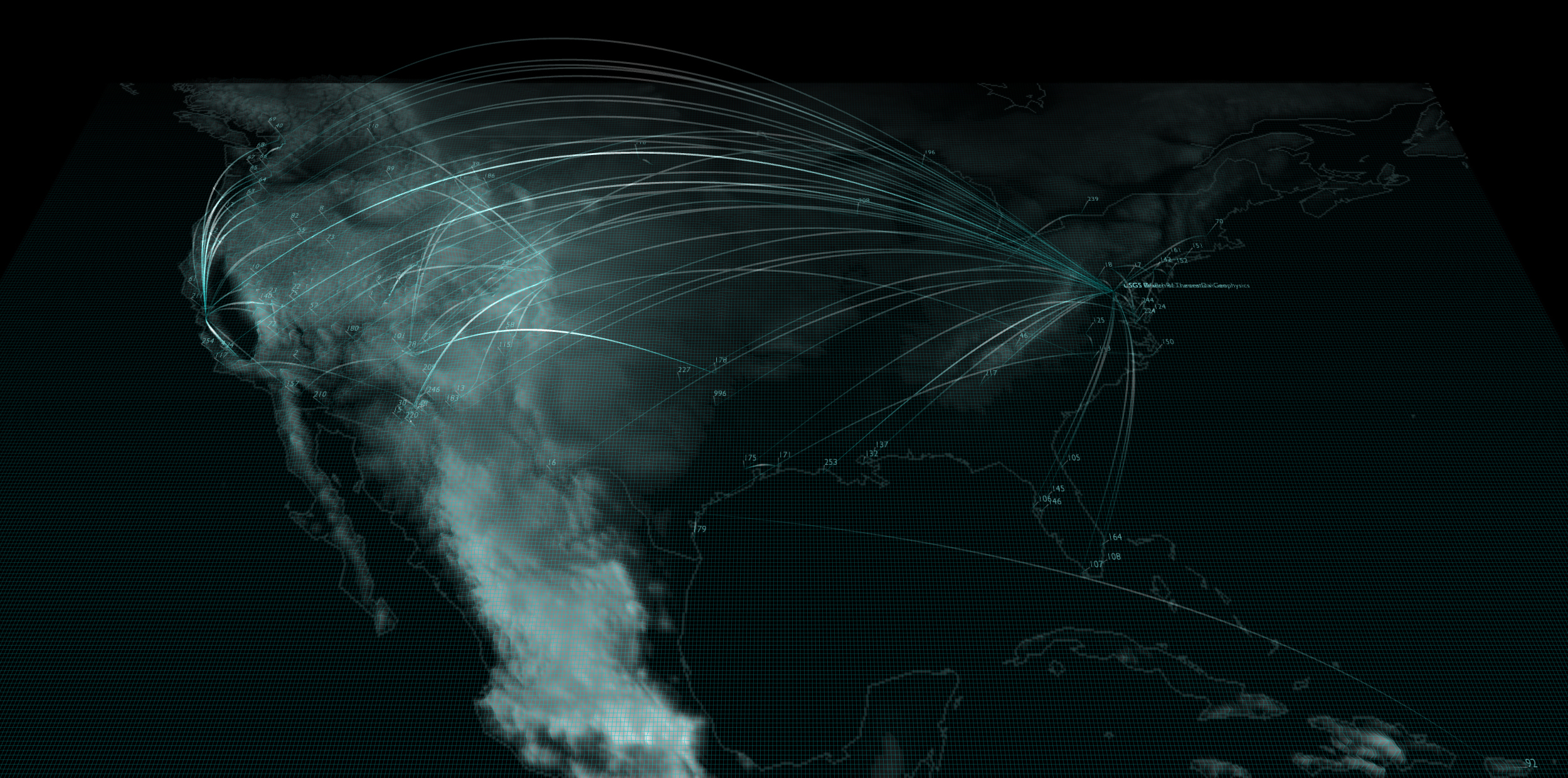
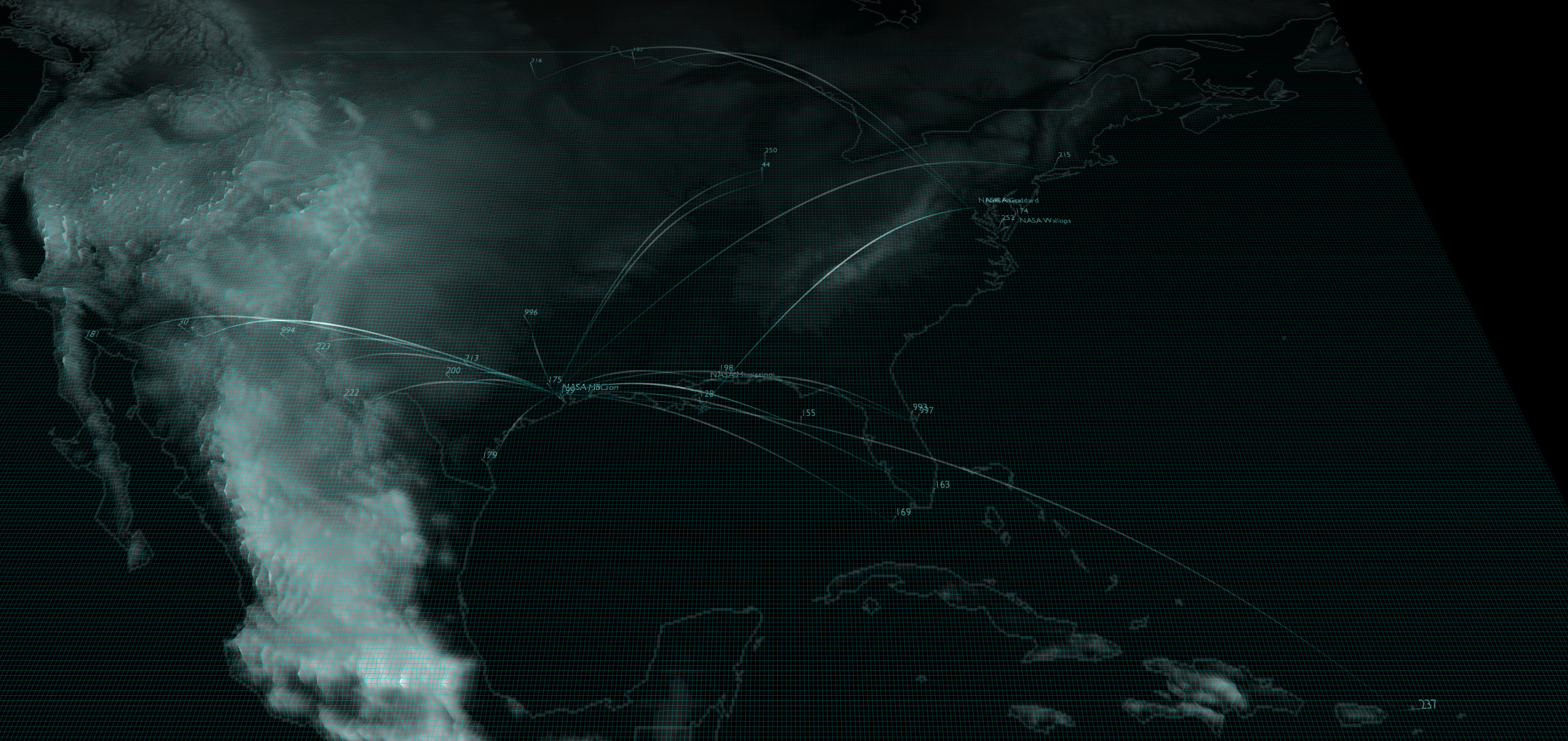
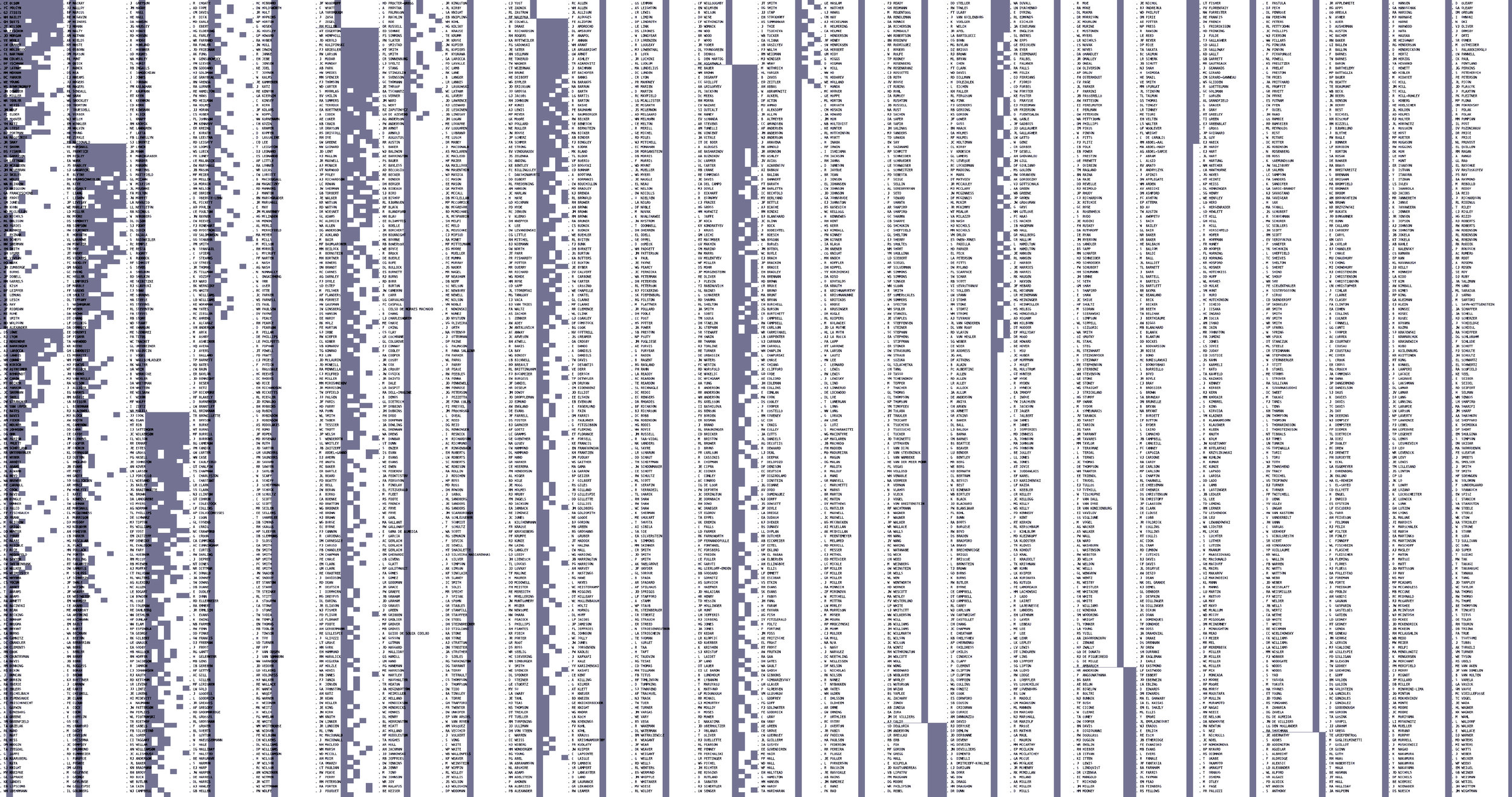
Test Sites is an on-going research project that explores the history of environmental Remote Sensing through data mining, mapping, and visualization. The project specifically attempts to ground this history in very real landscapes and territories by focusing on over the 300 geographic “Test Sites” that were used by federal and academic researchers during the creation of this field. It is at these locations that sensing technology found its practical applications, and where the first translation from environment to data occurred. Despite their importance, the test sites have not previously been foregrounded. Inspired by Michael Callon and Bruno Latour’s “Actor Network Theory,” Test Sites uses contemporary data analysis and visualization techniques to create a different history that focuses on the dynamic connections between individual researchers, their test sites, the institutional context of their work, and the specific technologies they used.
Between 1962 and 1975, researchers produced huge amounts of “grey literature” — project meeting minutes, technical status reports, organizational charts, conference proceedings, mission reports, chronological correspondence files, trade journals, sensor specifications, and others. <Test Sites> treats these materials as data to be mapped and visualized. Though this material is rarely considered a ‘dataset,’ it is precisely where the historical information resides. Over the last four years, I have engaged in intensive archival research to assemble a vast repository of these documents. By translating grey literature into geospatial data, we can follow researchers through their physical test sites, their collaborations, their institutional affiliations, and how they wrote about their subject over time. I believe this will produce completely new findings about an important moment in the history of the environment.
A main component of Test Sites is an Ontological Database. Warning Office has been analyzing the above-mentioned grey literature and are translating these documents into a series of entities and relationships that the database tracks over space and time. (The database is not merely a repository of documents, it instead uses the documents to create an ontology, or representation of individual actors and the spatio-temporal relationships among them.) On its own, a single instance of a document is not very useful for creating a larger story of the environment. However, as an ensemble, they allow us to trace the vast network of social and spatial associations that brought Remote Sensing into being.
[PROJECTS]